The Bus Heinsberg Map
Download Heinsberg map for The Bus.
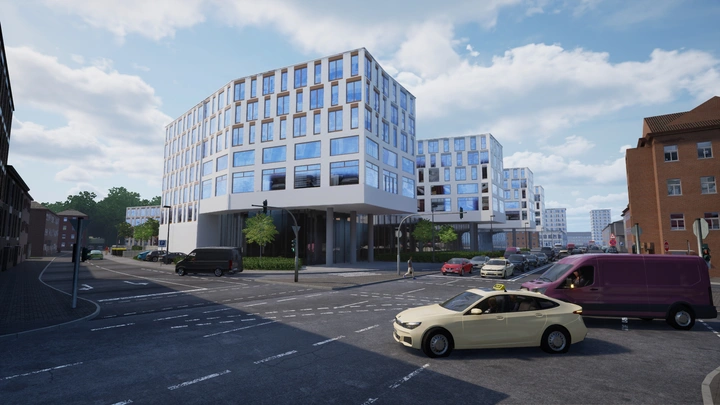
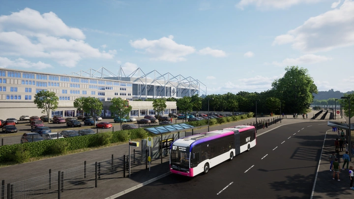
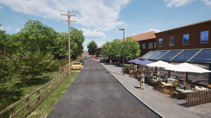
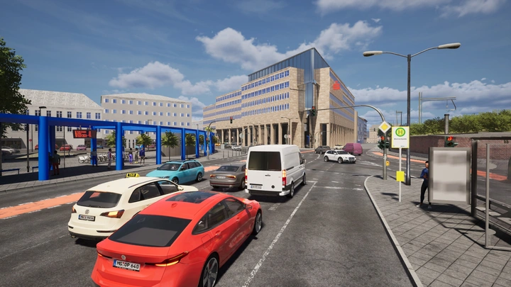
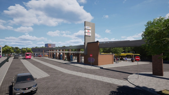
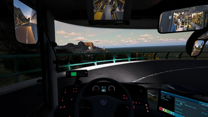
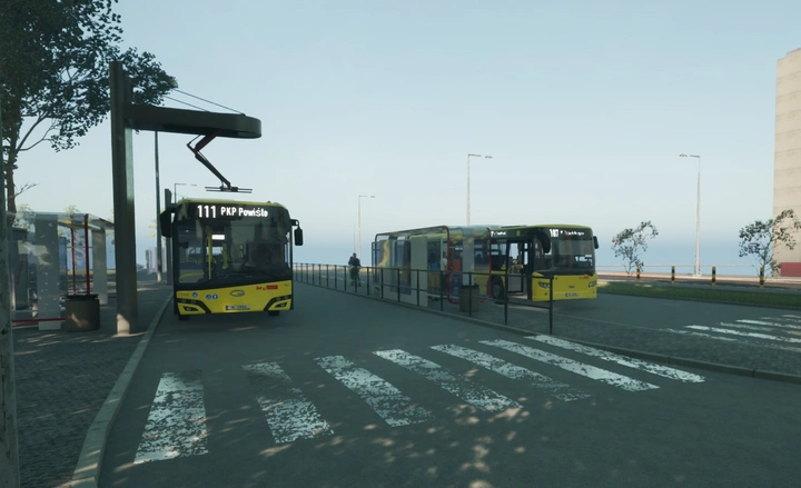
The region between Mönchengladbach and the Heinsberg district lies on the western edge of North Rhine-Westphalia, directly on the border with the Netherlands. The area offers a diverse landscape featuring vibrant city centers, commercial and industrial zones, rural areas, and rural routes.
The map covers the operations of NEW mobil und aktiv and WestVerkehr.
These two companies are the cornerstones of local public transportation in the region. They ensure daily mobility between the city of Mönchengladbach and the surrounding municipalities in the Heinsberg district.
Features:
The project features a route network spanning over 80 kilometers with more than 100 authentic stops. Discover over 20 meticulously detailed locations.
All Lines at a Glance:
All schedules correspond exactly to the real-world models used by the transit agencies.
Line
Route
Details
412
Erkelenz Bahnhof – Wegberg Schwalmaue
34 stops · 44 min
017
Mönchengladbach Hauptbahnhof/Europaplatz – Wegberg Schwalmaue
41 stops · 42 min
EK2
Erkelenz Bahnhof – Katzem Kirche
21 stops · 26 min
SB8
Erkelenz Bahnhof – Wegberg Schwalmaue
14 stops · 33 min
418
Wegberg Große Riet – Erkelenz Bahnhof
28 stops · 57 min
015
Mönchengladbach Geroplatz – Mönchengladbach Hauptbahnhof /Europaplatz
7 stops · 7 min
007
Mönchengladbach Böcklinstraße – Hamburgring 1
13 stops · 19 min
SB81
Erkelenz Station – Rheindahlen Hilderather Straße
9 stops · 18 min
SEV
(fictitious) Mönchengladbach – Wegberg – Erkelenz
3 stops · 41 min
Recommended Settings:
Traffic density: 100%
Pedestrian density: 100%
The Bus Version: 1.1.96961