Omsi2 – Provincial Map
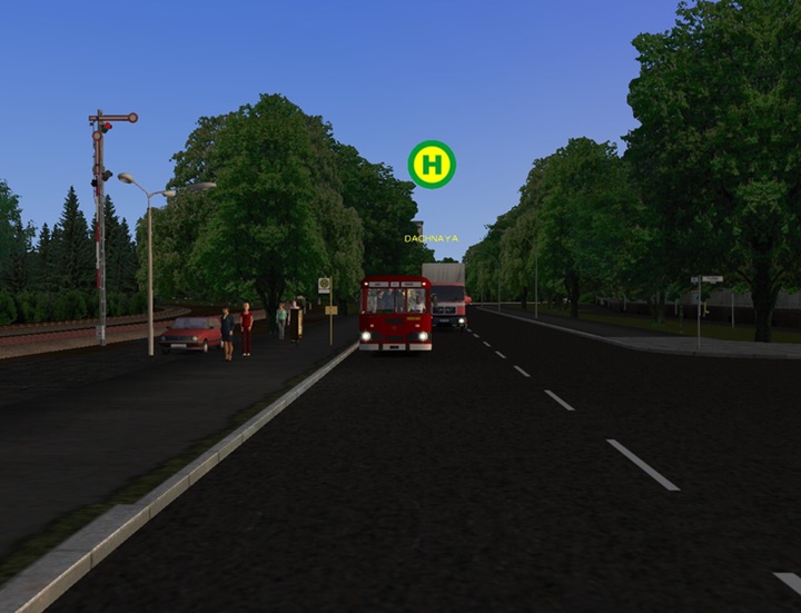
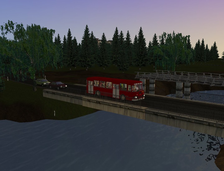
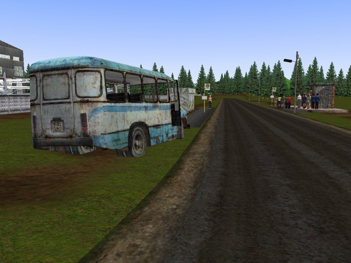
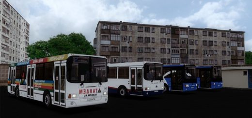
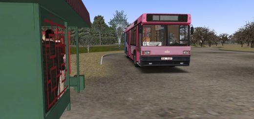
Provincial Map for Omsi 2.
Large and interesting suburban map!
ROUTES:
- 10: House of Culture-Klyuchi (14 km)
- 15: HOSPITAL №1-MARMORNAYA STREET (9.5 km)
- 17: Marble-Polevaya street-Marblevaya street (Ring) (13.2 km)
- 19: HOSPITAL No. 1-FOREST-HOSPITAL No. 1 (Circular) (12.4 km)
- 32: Klyuchi-Nazarovo (4.6 km)
- 35: A / S ROSINO-A / S SUNNY (85 km)
- 75: HOSPITAL No. 1-Ul .Arkhangelskaya (35.4 km)
- 76: Hospital No. 1-Shoe Factory-Hospital No. 1 (Semi -circular ) (6.9 km) 101: Yuzhny-Marble Street (14 km)
Build the mod archive – Sergey Kukanov (liaz677)
Installation: Extract the contents of the archive to the game folder, agreeing to a replacement.
File Info: ZIP / 1020 MB
Omsi2 – Provincial Map Download - drive.google.com


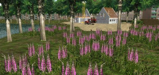
 You can subscribe to our YouTube channel for mod videos.




The stations in hof. file are in russian, i don`t understand the starting points