 You can subscribe to our YouTube channel for mod videos.
The Bus Castrop-Rauxel (Ruhrgebiet)
Download Castrop-Rauxel (Ruhrgebiet) map for The Bus.
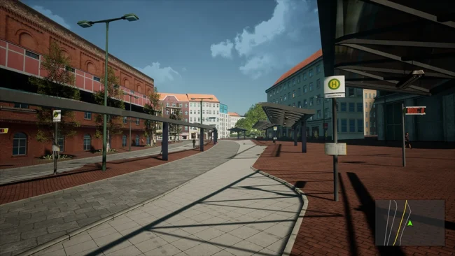
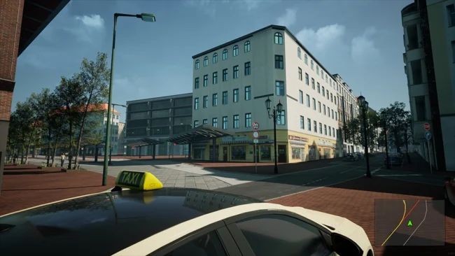
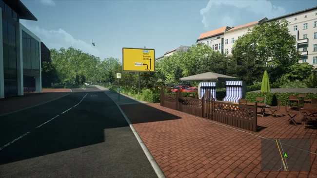
This map is a true-to-scale recreation (featuring 100% authentic roads, gradients, and timetables) of the bus routes operating from the Castrop-Rauxel Münsterplatz bus terminal; consequently, it will also include lines from DSW21, HCR, Bogestra, and Vestische extending deep into Dortmund, Bochum, Herne, and Recklinghausen. Situated between these major cities, Castrop-Rauxel serves as the central bus hub of the eastern Ruhr area.
Features:
Where you notice missing buildings or dense forests, simply imagine yourselves back to the time before industrialization-back then, the cities and districts found here were merely small villages within a rural landscape. Since there are some very hilly areas in this region, we decided to create a “true” 3D map-complete with elevation data and realistic terrain-even though this significantly increases the effort required for map creation. Consequently, unlike many other maps, the roads here are not flat; instead, they are quite uneven in places. Grass grows in the most improbable spots-right along the roads and sidewalks-just as it does in real life. It can look a bit messy at times!
Unfortunately, it isn’t possible to recreate every single building (or even a large number of them) with absolute fidelity. Nevertheless, we are striving to make the map as visually appealing as possible so that you can enjoy playing on it and get a genuine feel for the real-world locations.
The Bus Version: 1.2.100996
This post was updated on 19 September 2026 17:02.
Recent Comments