
 You can subscribe to our YouTube channel for mod videos.

The Bus Castrop Rauxel Map
Download Castrop Rauxel map for The Bus.
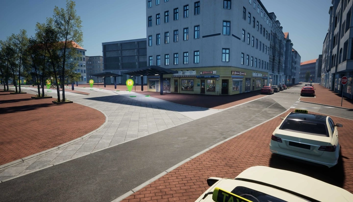
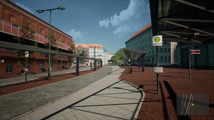
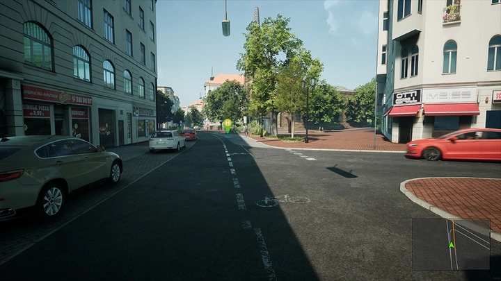
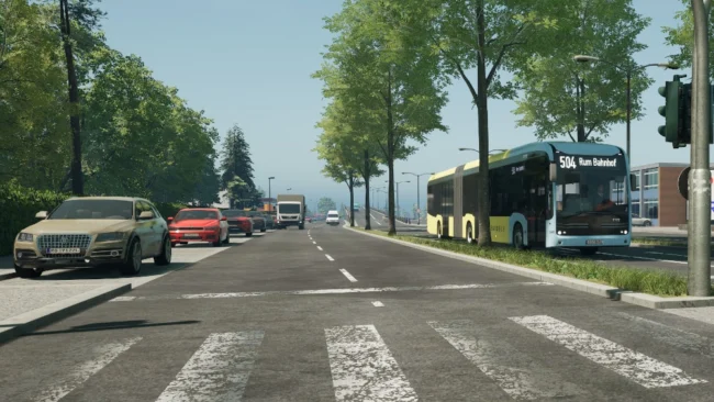
Castrop-Rauxel is an early-access map for The Bus, recreating the eastern Ruhr area at true scale with authentic roads, gradients, terrain and timetables. The map focuses on bus routes operating from Castrop-Rauxel Münsterplatz and includes services from HCR and DSW21, with planned expansion toward Dortmund, Bochum, Herne and Recklinghausen. Available routes include Line 341 from Münsterplatz to Schwerin Seniorenheim, while Lines 347, 480, 481 and 482 are still under development or limited to internal testing. The map features realistic elevation data, uneven roads, detailed landscapes and recognizable real-world locations. Some buildings and areas are still incomplete as development continues.
The Bus Version: 1.1.96961
This post was updated on 26 July 2026 16:52.

Recent Comments